

 OMG Nepal
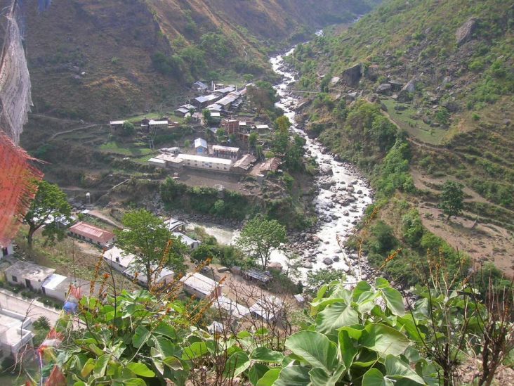
Syaphru, Rasuwa. Archival settlement photograph; not an image of the 2026 flood or current access conditions.
A roof can be obvious in a satellite image and still be absent from a usable digital map. Closing that gap requires someone to identify it, trace it and check the result. After flooding in Nepal, volunteers undertook that patient work as part of a wider effort to improve information about affected places.
A map built through many small contributions
In a September 16, 2026 account, the Humanitarian OpenStreetMap Team described its response to flooding in the Rasuwa area. The organisation reported contributions from hundreds of volunteers and the addition of 20,100 buildings to OpenStreetMap during the campaign.
The account separates mapping from validation. Volunteers worked from imagery, and experienced contributors checked results. It also describes the use of machine-assisted analysis followed by human review. The totals are the organisation’s campaign figures, not an independent count by OMG Nepal.
That division of labour is important. A rapidly produced dataset is only useful if the people using it understand how it was made, what has been checked and where uncertainty remains. A mapped building is not, by itself, confirmation that a household is safe or a road is passable.
Local knowledge gives the outline meaning
OpenStreetMap describes itself as a community-built source of open map data. Contributors use aerial imagery, GPS and field knowledge to maintain information about roads, trails and many other features.
The project’s emphasis on local knowledge helps explain both the strength and the limits of remote mapping. An image can reveal the outline of a structure. People familiar with the area may be needed to clarify names, uses or changes that the image alone cannot establish.
Open data also means the work can be reused under its licence with appropriate attribution. The value lies partly in allowing different organisations and communities to work from information they can access, rather than keeping each contribution inside a single private tool.
A useful role for careful attention
For readers looking for a practical connection between technology and Nepal, mapping offers a less glamorous but revealing example. It rewards consistency, checking and a willingness to correct mistakes.
Anyone interested in contributing should begin with the project’s training and follow the requirements of an appropriate task. Disaster mapping is not improved by speed alone, and unverified edits can create more work for others. Reliable information is the contribution that matters.
A map can look impersonal when it is finished. Behind it are decisions made by people who chose to pay attention to a place. In Nepal’s September mapping response, that attention became thousands of small additions to a shared picture.
From the OMG Nepal archive: Tech Innovation in Nepal.
Sources and further reading
Sources checked October 6, 2026. Event details may change; historical dates are stated in the story.
- Humanitarian OpenStreetMap Team: September 2026 response account
- OpenStreetMap: community, local knowledge and open data
Cover photo: Syaphru, Rasuwa.jpg by Krish Dulal / Wikimedia Commons. CC BY-SA 3.0. Resized for web; thumbnail display may crop.